
Activities in Utah › Hiking Trails › Altamont
Uinta Highline Trail
- Where
- Altamont, UT (Duchesne County)
- Indoors or outdoors
- Outdoors
- Good for
- outdoor lovers
Good to know
This 104-mile trail crosses the Uinta Mountains from east to west through high alpine terrain shaped by glaciers, with hundreds of mountain lakes scattered throughout the broad basins. Backpackers and experienced hikers will appreciate the remote landscape and varied scenery. Plan for a multi-day trip and check current trail conditions before heading out.
Updated October 22, 2026

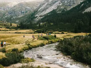
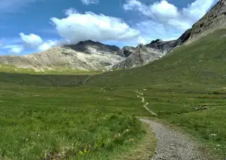
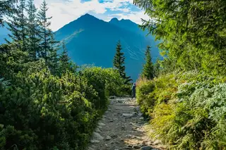
The Uinta Highline Trail is a trail in the Uinta Mountains of Utah that traverses the range 104 miles (167 km) from east to west. The trail passes through expansive alpine landscapes dominated by metasedimentary rocks sculpted by past glaciers. The broad glacial basins are dotted by hundreds of lakes.
About Uinta Highline Trail
Uinta Highline Trail is a hiking trail in Altamont, Utah, in Duchesne County. It's an outdoor activity. The nearest other hiking trail is Uinta Highline Trail, about 4.1 miles away, with 34 more within 30 miles. It suits outdoor lovers.
More hiking trails nearby


Common questions
Where is it?
Altamont, Utah.
Hiking Trails in UtahActivities in AltamontAll activities in UtahEvents this week