
Activities in Utah › Hiking Trails › Castle Dale
Little Grand Canyon Trailhead
- Where
- Castle Dale, UT (Emery County)
- Indoors or outdoors
- Outdoors
- Good for
- outdoor lovers
- Phone
- +1 435-636-3600
Good to know
This trailhead marks the start or end point for hikes through Little Grand Canyon along the San Rafael River. The hike follows the river as it cuts through the canyon landscape.
Updated October 22, 2026
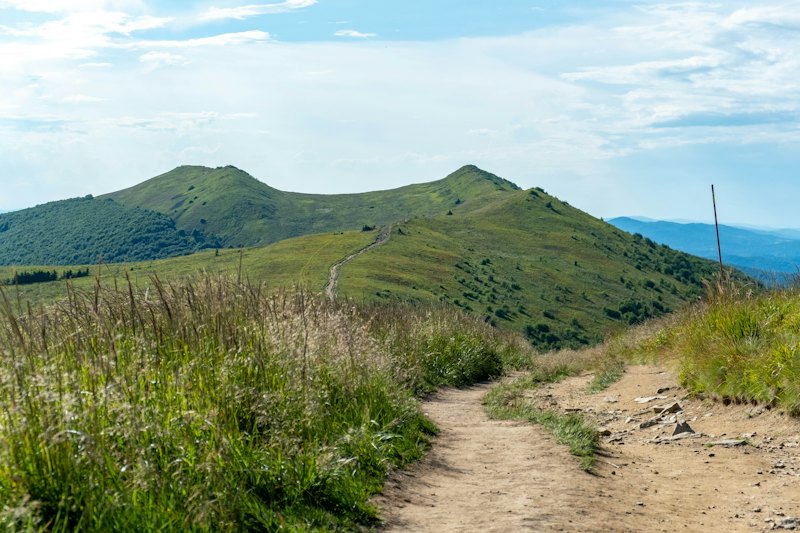
Little Grand Canyon trailhead serves as the starting or ending point for those hiking through the Little Grand Canyon. The trailhead is located past the Swinging Bridge and.8 miles west of the Buckhorn Draw Rd. This hike explores the San Rafael river as it cuts through the Little Grand Canyon. This
About Little Grand Canyon Trailhead
Little Grand Canyon Trailhead is a hiking trail in Castle Dale, Utah, in Emery County. It's an outdoor activity. 29 other hiking trails are within 30 miles; the closest is Fullers Bottom Trailhead, about 0.8 miles away. It suits outdoor lovers.
More hiking trails nearby

Common questions
Where is it?
Castle Dale, Utah.
Hiking Trails in UtahActivities in Castle DaleAll activities in UtahEvents this week